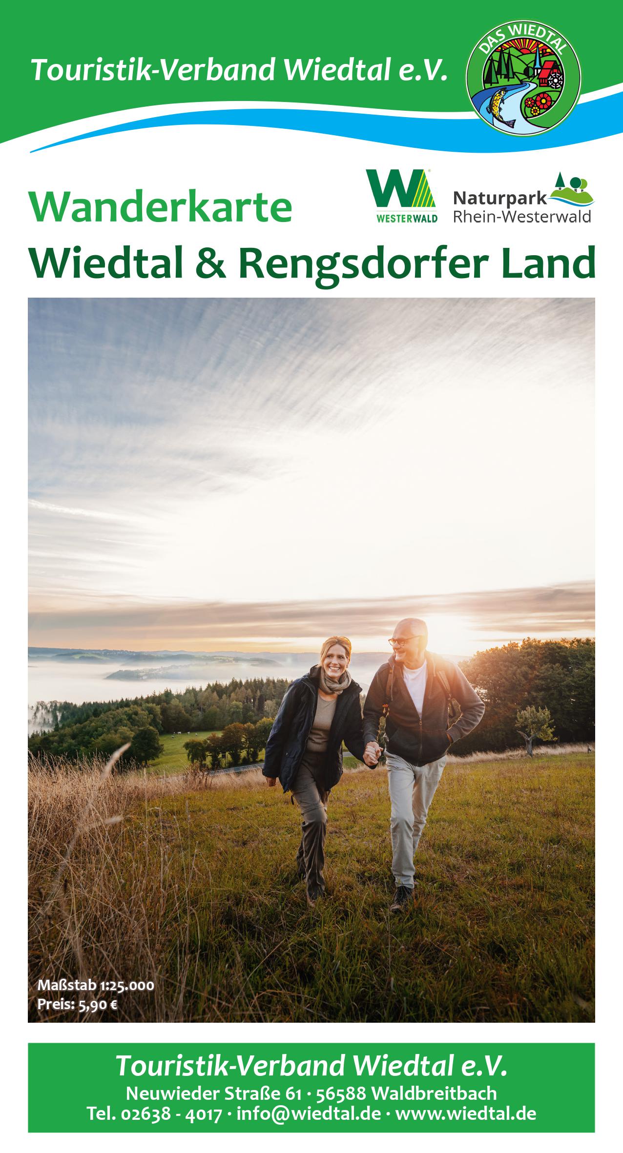
The hiking map for the Wiedtal and Rengsdorfer Land has been reissued. At a practical scale of 1:25,000, hikers will find all the local circular routes in the Rengsdorf-Waldbreitbach municipality. In addition, supra-regional hiking trails are also marked: the three Wäller tours Bärenkopp, Klosterweg and Iserbachschleife, the now five Kleine Wäller Spazierwanderwege, WesterwaldSteig, RheinSteig, Wiedweg, Butterpfad, Fürstenweg, the three Zwergenwege and Erzwege. Points of interest are highlighted with pictograms. These include hiking parking lots, restaurants, rest areas, viewpoints, public transport stops, panorama boards and places of interest. The map has a weatherproof coating. It is available for €5.90 at the Waldbreitbach and Rengsdorf tourist information offices, from many hosts and free of charge in the online store at www.wiedtal.de.
New hiking map for Wiedtal & Rengsdorfer Land